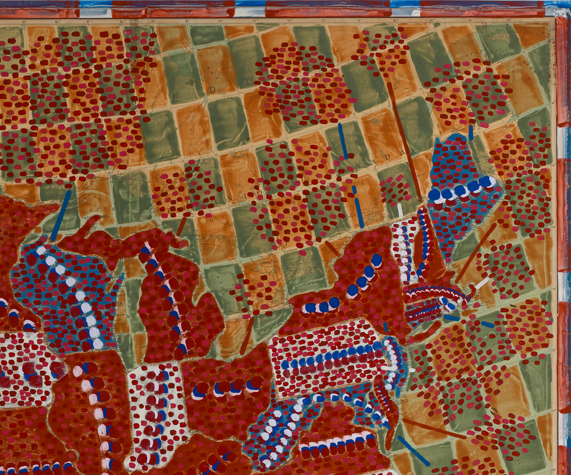
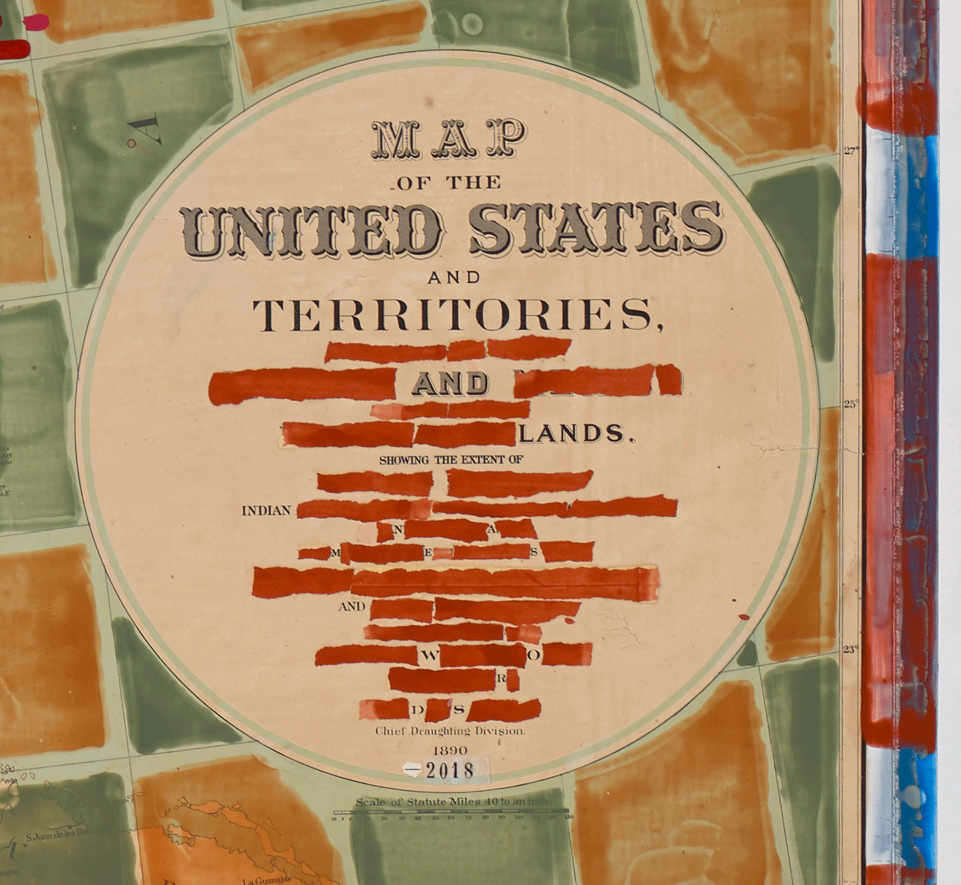
WHAT’S IN A NAME?
There are so many names, but Dan Mills has set these Indigenous words on a map of the United States that was first made in 1890. That was the year that the federal government declared the frontier to be “closed.” There was no longer an imaginary line separating American Indians who did not deserve to live in this country from the “civilized” white Americans who did. The frontier had vanished presumably because the Indians had, too. Guns assisted in this work of erasure. 1890 was also the year that the United States Army massacred more than 200 Lakota men, women, and children at Wounded Knee. On Mills’ reconfiguration of this map, the nation’s Indigenous names now lie buried under red, white, and blue. The nation looks a little like a fragmented stars and stripes.
—Joseph Hall, “Mapping Conversations" essay, Dan Mills, Human Topographies Exhibition Guide, 2019-20
What’s in a Name? (state names + the number of major geographic features named after indigenous people & words marked with red), 2018, acrylic on collaged map laid down on board, 65 x 83 inches